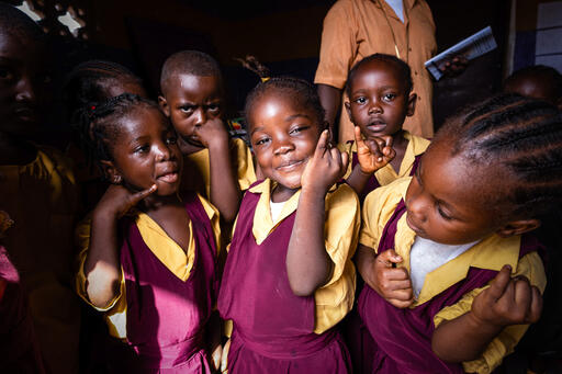
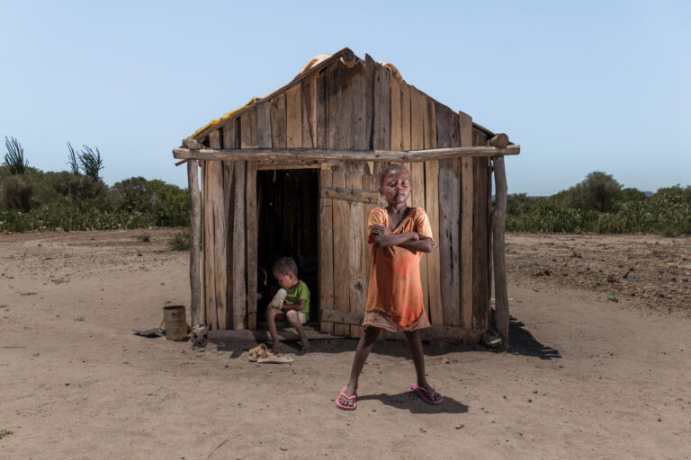
Rhoda Nkhambule, mother of two, lives in Thipa village – 19 km from the nearest health centre in Dwanga, Malawi. The only way to get there is either by bicycle or walking for four hours. The long walk means that routine healthcare is out of reach for Rhoda and her family. She will inevitably miss doctor’s appointments, some of which are potentially life-saving for her young children.
I know how important vaccinations are to our children,” said Rhoda, “Medical staff tell us that children have to receive their vaccination on time, but our children can only receive vaccinations once a month because we are so far from the health centre. If they miss it, they have to wait for the following month, putting them at risk of catching diseases.
In response to issues like these, the UNICEF Country Office in Malawi and the Government of Malawi are testing the potential use of drones to transport vaccines and medical supplies to remote health centres.
I invited myself to the UNICEF Country Office in Malawi because I had heard bits and pieces of what they are doing in the areas of innovation for data and for service delivery, and wanted to see for myself.
I came away impressed because they are working together to make innovation useful for programming and advocacy for children, they are learning and unabashedly trying things which may fail so they can learn and do something new and better, and because they are focused on finding better ways to do their programming, rather than finding uses for new and shiny things!
What parts of the box have they jumped out of? Beyond exploring the use of drones for the transport of vaccines and medical supplies, they are currently best known for work using drones for aerial photography and mapping.
The combination of drone and satellite imagery (along with some heavy machine-learning by IBM’s Watson super-computer) is likely to make a very useful digitised map of the whole country with features of programme importance available for geospatial analysis. This can be used for large-scale (Ministry) planning, and local interventions (being tried now in cholera outbreak response, and great potential for use in the next floods).

But the geospatial capability is also being used to link programme interventions directly to their supporters in wealthy countries, so programme information is directly available, encouraging donors in their support! And linking local child journalists and bloggers to their counterparts in Europe for mutual encouragement and support.
The recently completed registration of every person in the country (including – after UNICEF advocacy) all children, will allow linkage of information from administrative data from different systems to track, locate and assist the children who are missing out on different systems of support. This takes the multiple-overlapping deprivation analysis of sample surveys to the next logical step of administrative data systems, to support the SDG principle of “no child left behind”.
All this is happening in a country where the natural resources and industrial base are tiny – one of the poorest countries in Africa. How can that happen? A wonderful combination of a Government that is open to listen and learn, and willing to experiment to jump-start out of their poverty; a country which is small enough to be manageable, but large enough to have economies of scale; and a donor community (not least in UNICEF) which is will to explore what can be done new, what the “Data Revolution” called for in the SDGs actually means in practical terms for children.
Most of what I have described is still in the future tense, but it is a future just around the corner, as we move from experimentation to implementation. I am excited to follow what is happening here, and to find other countries where similar unassuming but pioneering work is going on.

